Description
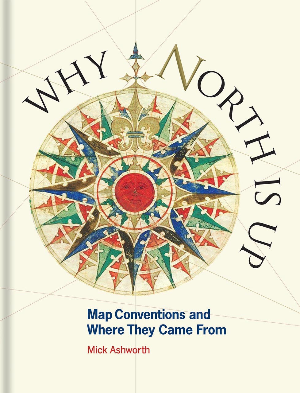
Discover the captivating world of cartography with 'Why North is Up.' This beautifully designed book, published by Bodleian Library Publishing in 2019, is perfect for map enthusiasts and curious minds alike. Delve into the intricate history of map-making and explore how cartographers have shaped our understanding of geography over the centuries. From map orientation and projections to typography and scale, this book unveils the evolution of mapping conventions that have stood the test of time.
With a focus on the significance of color, symbols, and the representation of relief, 'Why North is Up' showcases how these elements have been influenced by technology and cultural shifts. Uncover the fascinating stories behind why certain symbols hold immense importance and how they can dictate crucial decisions in navigation and exploration.
This essential guide to the language of maps reveals the complexities of map-making, including the challenges of universal acceptance in mapping conventions. Ideal for students, educators, and everyone interested in the art and science of cartography, this book is a must-have for your collection. Get ready to enrich your knowledge and appreciation of maps and their role in our lives with 'Why North is Up.'

