Description
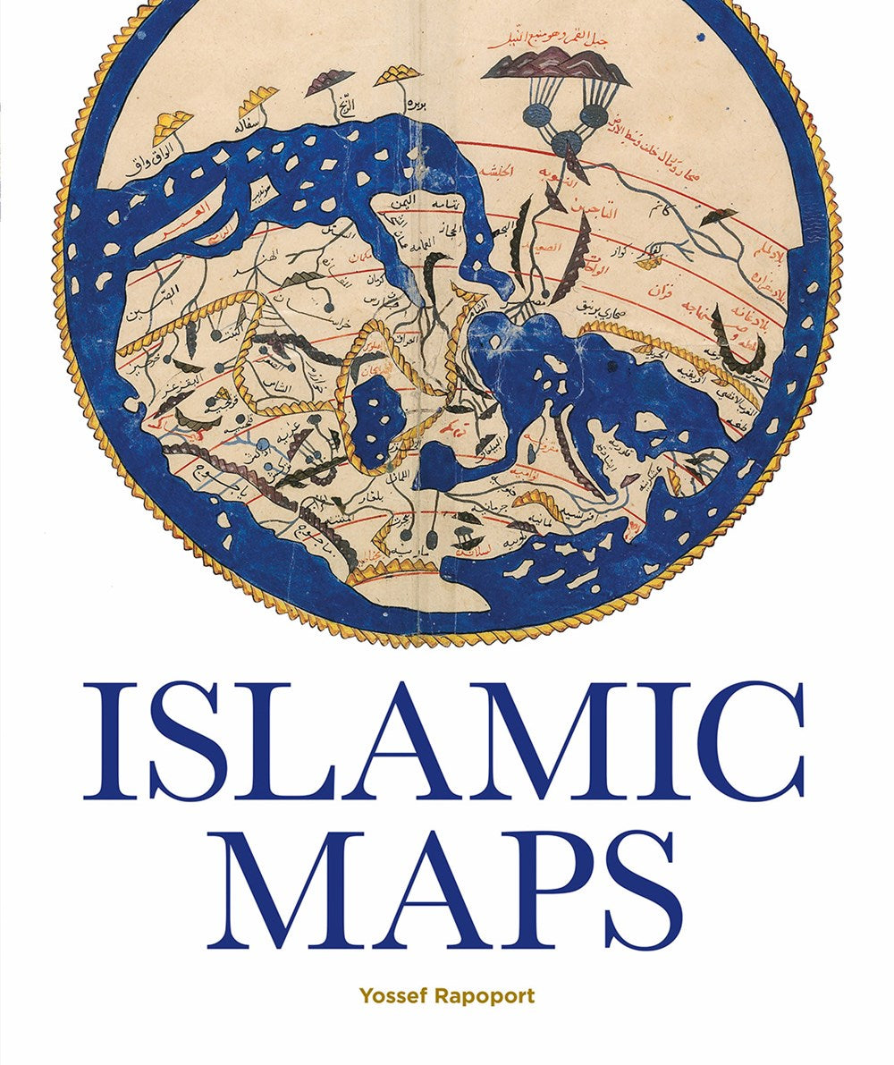
Discover the captivating world of Islamic cartography with 'Islamic Maps'. This insightful book spans centuries, detailing the evolution of map-making from the thriving cultural centers of Baghdad in the ninth century to the artistic innovations of nineteenth-century Iran. Learn about the pioneering Muslim cartographers like al-Khwarazmi and al-Idrisi, whose unique combination of mathematics, art, and geographical knowledge shaped the portrayal of the known world. Each map serves not merely as a navigational guide but as a profound statement of Islamic civilization, reflecting the diverse cultures and rich histories of regions such as Isfahan, Palermo, Istanbul, Cairo, and Aden. Illustrated with exquisite manuscripts, intricate Qibla charts, and stunning cartographic instruments, this book provides a comprehensive view of the Islamic perspective on geography and human diversity. Whether you are a scholar, an art lover, or simply curious about Islamic history, 'Islamic Maps' offers an artistic journey into the minds of legendary map-makers and showcases their visually stunning creations. Delve into the significant cultural narratives that these maps convey and understand their purpose within their historical contexts. Join us in exploring the remarkable legacy of Islamic mapping and the vivid portrayals of a world defined by complexity and beauty.

